
## Don’t Just Weather the Storm, Fly Through It: Meet the Real-Life Hurricane Hunters
Ever wondered who braves the swirling fury of a hurricane, not to escape, but to get closer? Forget Lara Croft and Captain Price, we’re talking about the real-life heroes who risk it all to understand these monstrous storms: the Hurricane Hunters.
A Look Inside the Bird: Exploring the Specialized Aircraft Used by Hurricane Hunters and Their Unique Capabilities

The heart of hurricane hunting lies in its dedicated fleet of aircraft, specially modified to withstand the extreme conditions of a tropical storm. These winged warriors, often referred to affectionately as “hurricane hunters,” are more than just planes; they are sophisticated platforms equipped with an arsenal of instruments and technology, enabling scientists to venture into the very eye of the storm.
For decades, the iconic Lockheed WP-3D Orion, a retired maritime patrol aircraft, has served as the primary workhorse for the National Oceanic and Atmospheric Administration’s (NOAA) Hurricane Hunter program. These planes, renowned for their robustness and endurance, can fly at altitudes exceeding 30,000 feet and endure wind speeds reaching over 150 knots. However, the modern hurricane hunter fleet is evolving, incorporating advanced technologies and aircraft like the Gulfstream IV-SP.
The Gulfstream IV-SP, known for its speed and fuel efficiency, offers a more agile platform for hurricane reconnaissance. Its pressurized cabin allows for enhanced data collection and crew comfort during prolonged missions, while its advanced avionics and weather radar systems provide real-time situational awareness, crucial for navigating turbulent storm environments.
Specialized Equipment
Hurricane hunters rely on a suite of specialized instruments and sensors meticulously calibrated to gather critical data within the heart of a hurricane. These instruments encompass a range of technologies, each designed to measure specific atmospheric parameters.
- Dropsondes: These small, expendable instruments are released from the aircraft and descend through the storm, providing vertical profiles of temperature, humidity, wind speed, and direction.
- Radar: Onboard Doppler radars provide real-time images of the storm’s structure, precipitation patterns, and wind fields, allowing scientists to track the storm’s evolution and intensity.
- Flight Level Wind Sensors (FLWS): These sensors, mounted on the aircraft’s wings, continuously measure wind speed and direction at different altitudes, providing a comprehensive picture of the storm’s atmospheric dynamics.
- Microwave Radiometers: These instruments measure the temperature of the ocean surface and the atmosphere, providing insights into the storm’s energy source and potential intensification.
Eyes in the Sky: Detailed Examination of the Instruments and Technology Used to Gather Storm Data
The sophisticated instruments embedded within hurricane hunter aircraft function as the eyes and ears of meteorologists, collecting invaluable data that forms the foundation of hurricane forecasting.
Dropsondes: Precision Instruments for Vertical Profiling
Dropsondes are the workhorses of hurricane research, providing a detailed vertical profile of atmospheric conditions within the storm. These small, expendable probes are released from the aircraft and descend through the storm, equipped with sensors to measure:
- Temperature
- Humidity
- Pressure
- Wind speed and direction
- Precipitation intensity
- Wind speed and direction
- Storm structure
As they descend, dropsondes transmit this data back to the aircraft and ground stations, creating a three-dimensional picture of the storm’s internal structure. This information is critical for understanding the storm’s intensity, potential for intensification, and track.
Doppler Radar: Unmasking the Storm’s Structure
Doppler radar, a mainstay in weather forecasting, plays a crucial role in hurricane reconnaissance. Mounted on the aircraft, these advanced radars emit radio waves that bounce back from precipitation particles within the storm. The reflected waves carry information about the storm’s:
By analyzing the Doppler shift of the reflected waves, meteorologists can determine the movement and intensity of different parts of the storm, providing valuable insights into its evolution and potential hazards.
Flight Level Wind Sensors (FLWS): Measuring the Winds of Change
Flight Level Wind Sensors (FLWS), strategically placed on the aircraft’s wings, provide continuous measurements of wind speed and direction at various altitudes. This data is critical for understanding the storm’s overall wind field, including the presence of wind shear, which can influence a hurricane’s intensity and track.
Data to Decision: How the Collected Data is Analyzed and Disseminated to Forecasters and the Public
The wealth of data gathered by hurricane hunters undergoes rigorous analysis and dissemination to empower meteorologists, emergency responders, and the public with critical information to prepare for and mitigate the impacts of hurricanes.
From the Skies to the Forecast Center
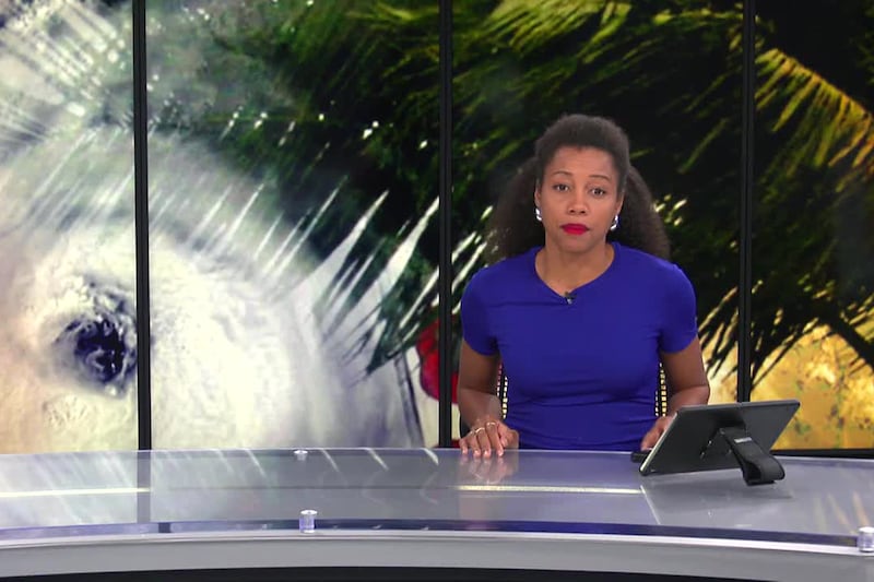
As the aircraft completes its mission, the collected data is rapidly transmitted to NOAA’s National Hurricane Center (NHC) in Miami, Florida, the nerve center for hurricane forecasting in the Atlantic and eastern Pacific basins.
Real-Time Analysis and Integration
At the NHC, a team of highly skilled meteorologists and data analysts works tirelessly to process and interpret the incoming data. This information is integrated with data from other sources, including satellite imagery, surface observations, and computer models, to produce the most accurate and timely hurricane forecasts.
Dissemination to the Public and Emergency Responders
The NHC disseminates its hurricane forecasts and warnings through a variety of channels, including:
- Website and social media platforms
- National weather radio broadcasts
- Local news outlets
This comprehensive dissemination strategy ensures that the public and emergency responders have access to the latest hurricane information, enabling them to make informed decisions and take necessary precautions.
Lifesaving Decisions
The timely and accurate hurricane data provided by the Hurricane Hunter program plays a critical role in saving lives and reducing property damage. By providing a detailed understanding of a hurricane’s intensity, structure, and track, these forecasts enable communities to prepare for the storm’s arrival, evacuate vulnerable areas, and implement emergency response measures.
Conclusion
So, there you have it – a glimpse into the daring world of Hurricane Hunters, where bravery and cutting-edge technology collide. These brave pilots and scientists, facing down the fury of storms, are the unsung heroes of our age. Their meticulous data collection, their unwavering dedication to understanding these powerful forces, directly translates to saving lives and protecting property. The sophisticated technology they utilize, from Doppler radar to dropsondes, is constantly evolving, providing ever-more accurate forecasts and insights.
But the story doesn’t end there. As climate change intensifies, hurricanes are projected to become more frequent and powerful. This means the work of the Hurricane Hunters is becoming even more crucial. Their ongoing research and advancements will undoubtedly play a vital role in helping us navigate this increasingly volatile future. Imagine a world where we can predict hurricane paths with unprecedented accuracy, where early warnings give communities precious time to prepare. This is the future the Hurricane Hunters are actively shaping, one daring flight into the eye of the storm at a time.
Their courage in the face of nature’s wrath inspires us all, reminding us that even in the face of overwhelming power, human ingenuity and dedication can pave the way for a safer, more resilient future.